Sunday 15 April 2007 - Angorawa Creek - Old Putty Road trail
It's never a good day when the masses are entirely correct, but unfortunately, today turns out to be one of them... To all those who *didn't* join us for a ride up the Old Putty Road, congratulations, it was a disaster!
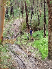
We (Rob, Matt, Steve and Stephe) missed the beginning of the track, rode for a couple of hours on a boggy / sandy trail that we thought might have been it, but which went nowhere much, came back, and then spent another few kilometres riding back down the bitumen (the wrong way) trying to find where we went wrong!
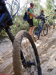
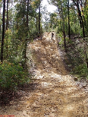
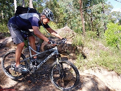
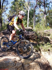
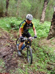
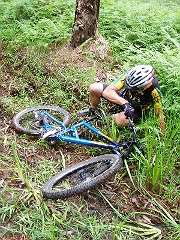
Some minor bits of skill development on the way (we're now all accomplished 'sand riders', with Steve demontrating the "hit it at 100km/h and you'll either get through or fall on your face" technique (which worked suprisingly well!), and there were some interesting / challenging hills to climb).
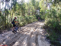
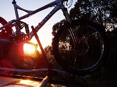
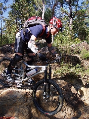
Ah well, living and learning (we were out at 6.32am and back at 3pm, with pies and milk on the way home!)... It all looked very promising as we left:
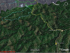
The original plan was to link up with the trail on this .kmz file, which also has some topo overlays embedded in it. The meeting point was intended to be:
http://maps.google.com.au/maps?f=q&hl=en&q=-33.254070,150.650202+(Grassy+Hill+Fire+Trail)&z=13&om=
And here's the map as it turned out:
Rob's thoughts on the day (and his pictures are all up here, with some below):
Grrrrrr.
Very sorry about today. I'm clearly very disappointed that (a) I didn't have my GPS (durh) and (b) I didn't bring the co-ordinates that we could have easily entered into Steve's :(
The sandpit we ended up riding is not on any map, but seems the water we passed in a couple of places was called Angorawa Creek. Well, the firetrail from the road down the the bottom of the valley was on a map, but nothing past there. Check out the pic, how close we were :(
I still think the walking stuff on the map has potential. It was a good plan, but very, very poorly executed (OK - poorly executed by me!). The cyan loop you see on the image does start out as firetrail, at the top of a hill, and climb further from the firetrail we drove down, before dropping as walking path into the valley.
I'm sure that was the place. Doh, doh, doh!
The only thing I can say to help is think about the trails you love (eg. Smugglers & Mooney Mooney), and how they are marked as walking trails.
Not put off by today's misadventure I really want to go take another look. Erm... although I won't hold anyone to a return trip - I will search for some more willing suckers... erm... volunteers ;)
Cheers,
Rob
P.S. FWIW I had an excellent day, feel tired (that sand is tough) and had plenty of laughs which is what it's all about IMHO.
posted by Stephe Wilks @ 7:11 pm
0 comments
![]()
![]()

0 Comments:
Post a Comment
<< Home